Iyeltak:VISTA A EST DAL MASTIO DELLA ROCCA.jpg

Le contenu de la page n’est pas pris en charge dans d’autres langues.
Teliz mal Wikipedia.

Xantaf iyeltak(10 009 × 4058 pixel, iyeltakaldo : 4,93 Mio, MIME ord : image/jpeg)

Bat iyeltak tir mal Wikimedia Commons ise gan yonar abdumimaks rotir zo faver. Pimtara moe inafu iyeltakbu valeveon zo nedir.

Pimtara

Pimtara
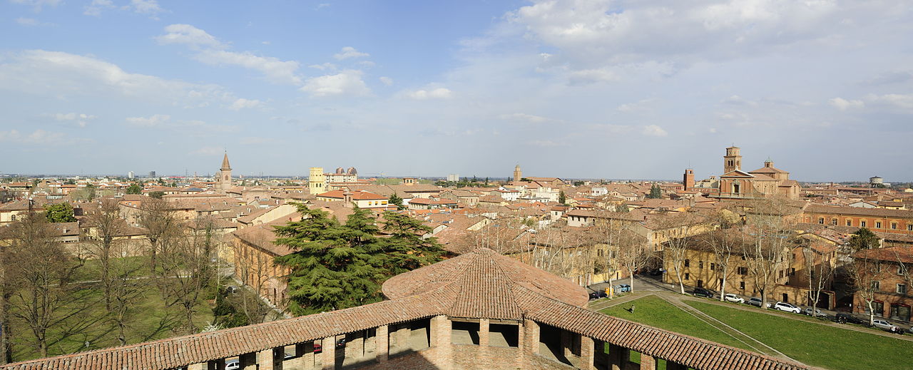
Italiano: Rocca Sforzesca - MIBAC
Ceci est une photographie d'un monument qui fait partie du patrimoine culturel d'Italie. Ce monument participe au concours Wiki Loves Monuments Italia 2012. Voir la liste des autorisations.
(wiki-ID: 037032724-MIBAC)
Italy-MiBAC-disclaimer Further authorizations required by the Italian "Code of Cultural Heritage and Landscape" (Codice Urbani), under Legislative Decree No. 42, dated January 22, 2004, and its subsequent amendments, regarding the reuse of the picture.
This image reproduces a property belonging to the Italian cultural heritage as entrusted to the Italian government. Such images are regulated by Articles 106 et seq. of the Italian Code of Cultural Heritage and Landscape under Legislative Decree No. 42, dated January 22, 2004, and its subsequent amendments. These regulations, unrelated to copyright regulations, establish a system for the protection of Italy’s historic and artistic heritage and its standards of dignity. Among other things, these regulations provide for the payment of a concession fee by those who intend to benefit economically from reproductions of property belonging to the Italian cultural heritage. Reproduction of this image is permitted for personal use or study. A further authorization by the Italian Ministry of Heritage and Culture is required for reproduction for any other purpose, and particularly for commercial use. Such commercial use includes, but is not limited to, use in (a) any form of advertising, and (b) any company name, logo, trademark, image, activity, or product.
Italy
Evla
Klita Pilkaf grabom
Askisik Bassanan
Lieu de la prise de vue44° 21′ 14,22″ N, 11° 42′ 25,13″ E Kartographer map based on OpenStreetMap.Voir cet endroit et d’autres images sur : OpenStreetMapinfo

Sortara :

Moi, en tant que détenteur des droits d’auteur sur cette œuvre, je la publie sous la licence suivante :
w:fr:Creative Commons
gaara Milinde paká
Til nuyaf :
  • Ta walzilira – ta ksudara va kobara azu walzilira azu deara
  • Ta warzafa ponara – Ta zalera va grabom
Nope valevef kredeem :
  • gaara – Va folack govanzilil ise va gluyaxa godaful ise gobazel kase betara al zo skud. Laninde gonaskil voxe mekane gometiavel da gelfasik va rin ik rinafa favera vanovar.
  • Milinde paká – Ede va bat valdig betal ike artazukar ike voner, pune va nekis valdig wetce mila ok milafa sorta gu bat goxolel.


Légendes

Ajoutez en une ligne la description de ce que représente ce fichier

Éléments décrits dans ce fichier

dépeint français

créé par français

Valeur sans élément de Wikidata

18 bareaksat 2012

44°21'14.22"N, 11°42'25.13"E

pris avec français

Nikon D3X français

Iyeltakizvot

Witison va iyeltak inde in banugale awir, va evla/bartiv vulegal !!

Evla/BartivAlukLumeemFavesikSebuks
ref27 lerdeaksat 2012 à 07:39Aluk va siatos ke 27 lerdeaksat 2012 à 07:3910 009 × 4058 (4,93 Mio)BassananUser created page with UploadWizard

Valevefa 2 bugluyaxa va bat iyeltak :

Jadifa iyeltakura

Valevefi wiki va bat iyeltak malsaved :

  • Favera dene an.wikipedia.org
  • Favera dene eo.wikipedia.org
  • Favera dene it.wikipedia.org
  • Favera dene pl.wiktionary.org
  • Favera dene szl.wikipedia.org
  • Favera dene tr.wikipedia.org
  • Favera dene vo.wikipedia.org

Veyorigeem